


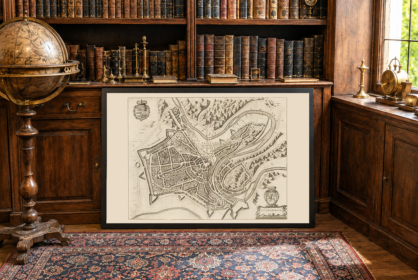
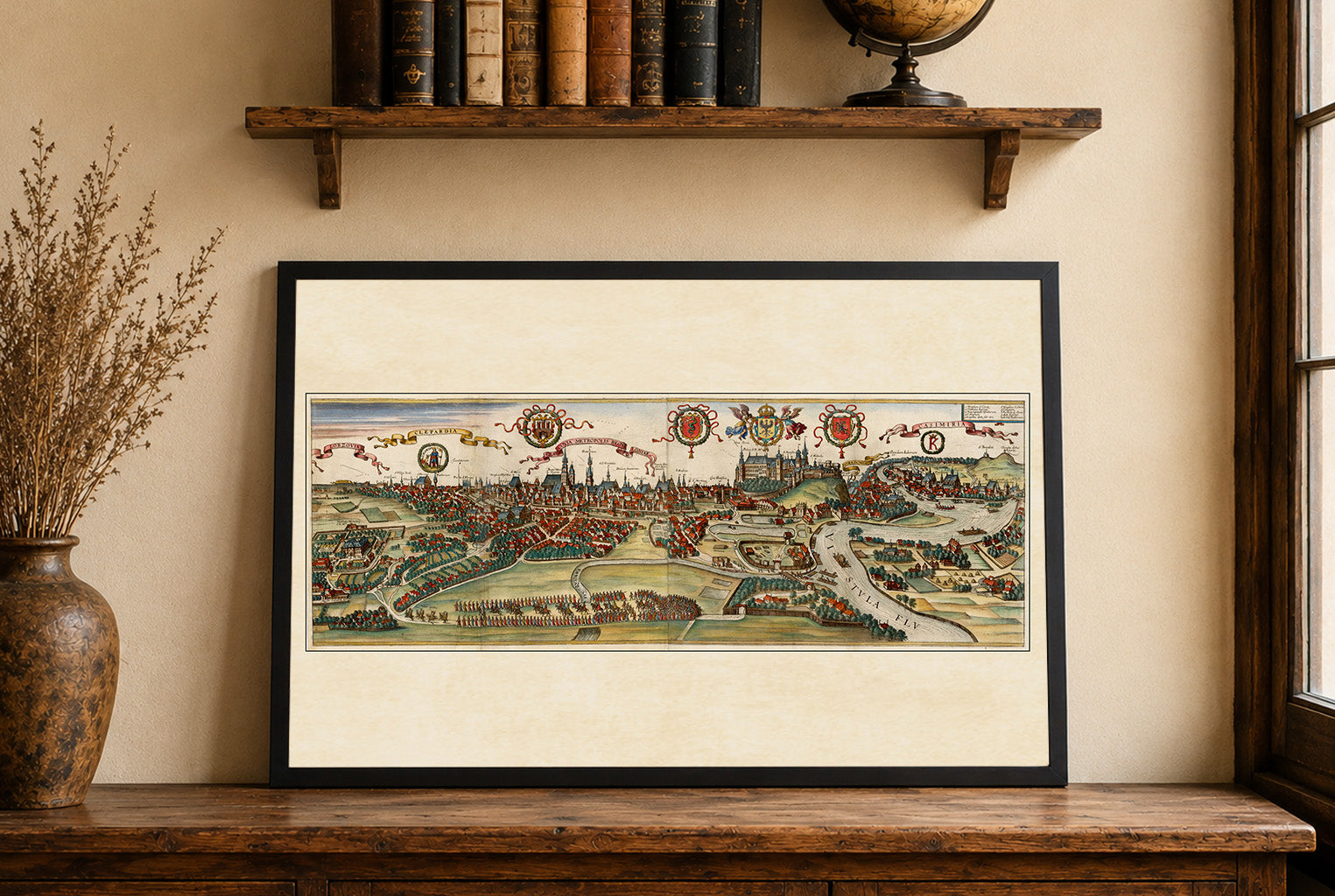
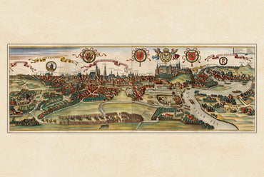
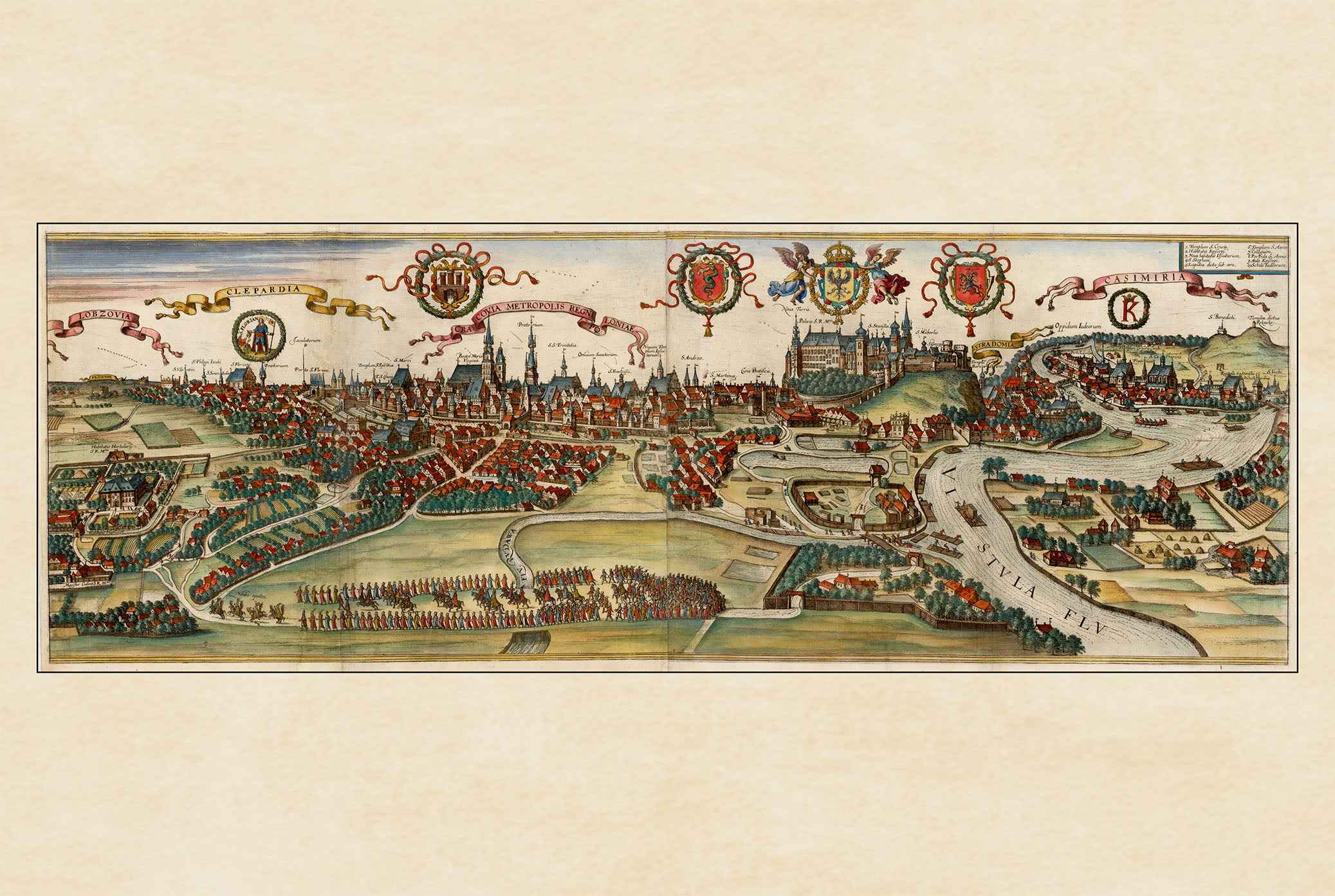
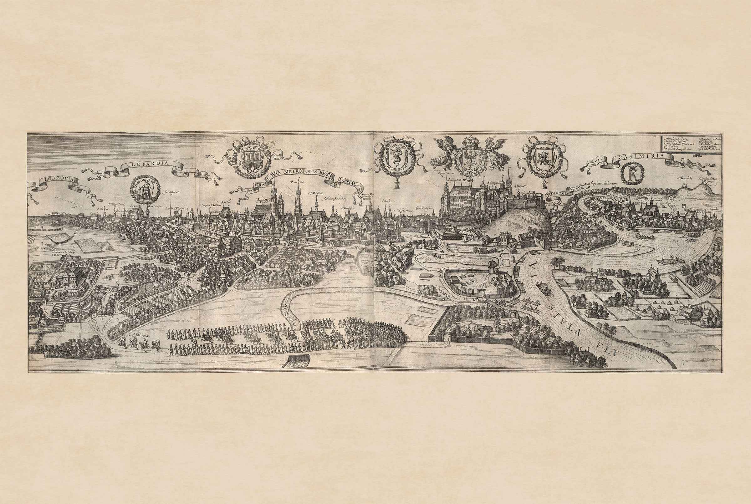
This image is a historical map titled "Lutzenburgum," created by Joan Blaeu and Willem Janszoon Blaeu in 1652. It is included in the second volume of Blaeu's city atlas, "Toonneel der Steeden van s'Konings Nederlanden, met hare Beschryvingen" (Theatre of Cities of the King's Netherlands, with Their Descriptions). The map is a detailed, bird's-eye view engraving of the city of Luxembourg. It features intricate depictions of the urban layout, including streets, buildings, and fortifications. The style is characteristic of the Dutch cartographic tradition of the 17th century, combining accuracy with artistic embellishment. Decorative elements such as coats of arms and cartouches enhance its visual appeal.


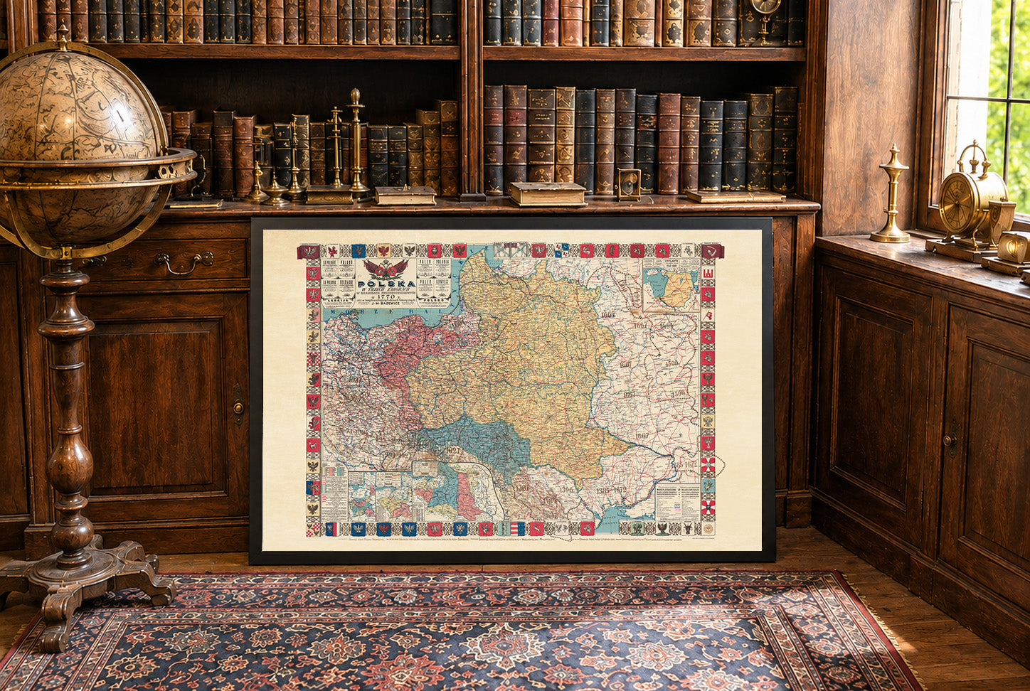
Incredible result, i would like to point out that during shipping the frame got damaged and we got a new one fast in perfect condition.
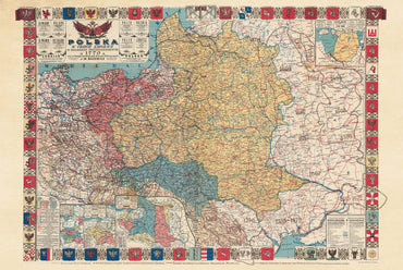
Skuszony poleceniem Zlewikka skorzystałem z oferty. Cały zakup przebiegł profesjonalnie od wysyłki, zabezpieczenia do jakości i wykonania mapy. Polecam!
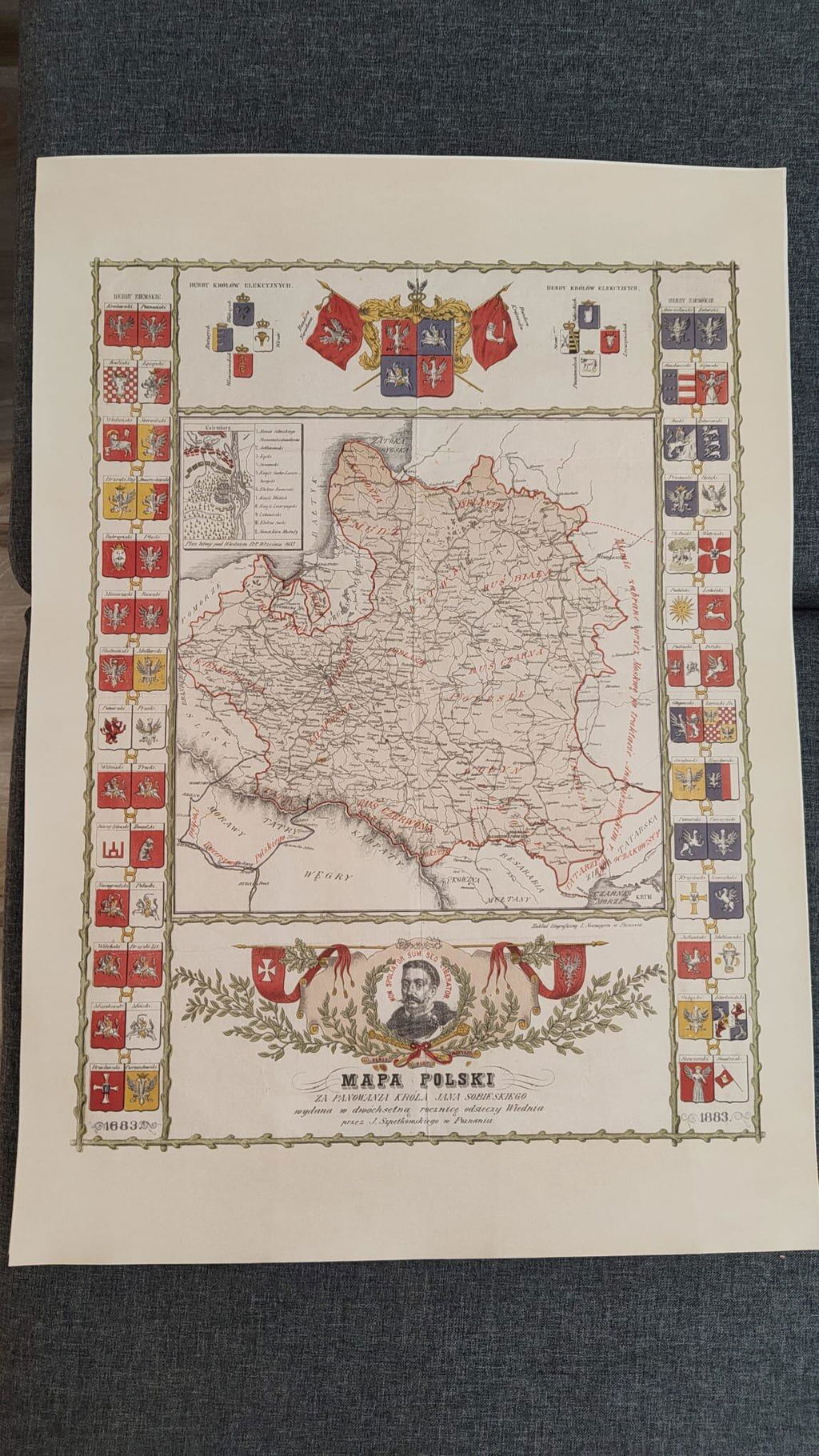
Mapa mojego ukochanego miasta wygląda bardzo dobrze. Wysłane szybko, zabezpieczone profesjonalnie - polecam każdemu kto się zastanawia nad zakupem!
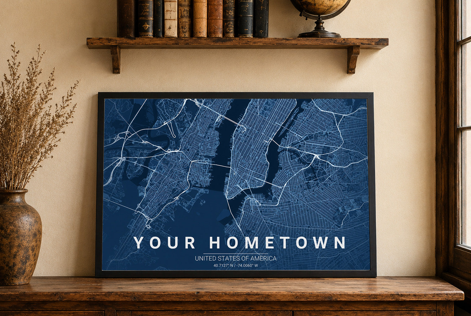
Excellent quality product along with great customer support
Great quality print, only when I got it i had correct the frame it was not put in properly, otherwise great.