



Przedstawiona praca to szczegółowa mapa Brugii, stworzona przez Joana Blaeu i Willema Janszoona Blaeu. Mapa, datowana na 1652 rok, jest częścią większego atlasu zatytułowanego „Toonneel der Steeden van s'Konings Nederlanden, met hare Beschryvingen”, wydanego przez Joana Blaeu. Mapa jest misternie grawerowanym przedstawieniem Brugii, ukazującym miasto z lotu ptaka. Jest częścią atlasu, który łączy precyzję kartograficzną z artystycznymi zdobieniami, charakterystycznymi dla holenderskiego Złotego Wieku kartografii. Medium to prawdopodobnie rycina, powszechna w przypadku map z tej epoki ze względu na poziom szczegółowości osiągalny dzięki grawerowaniu.


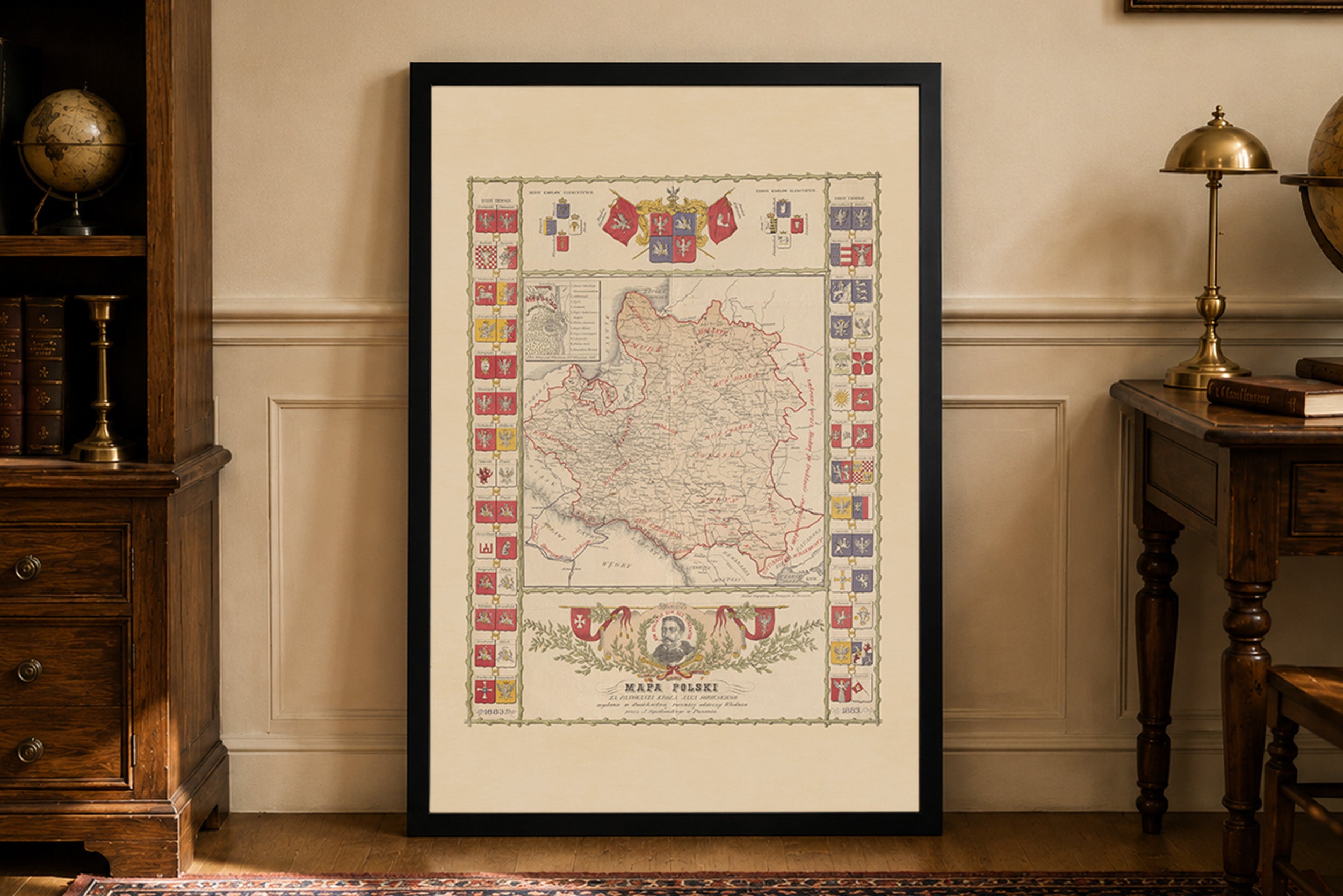
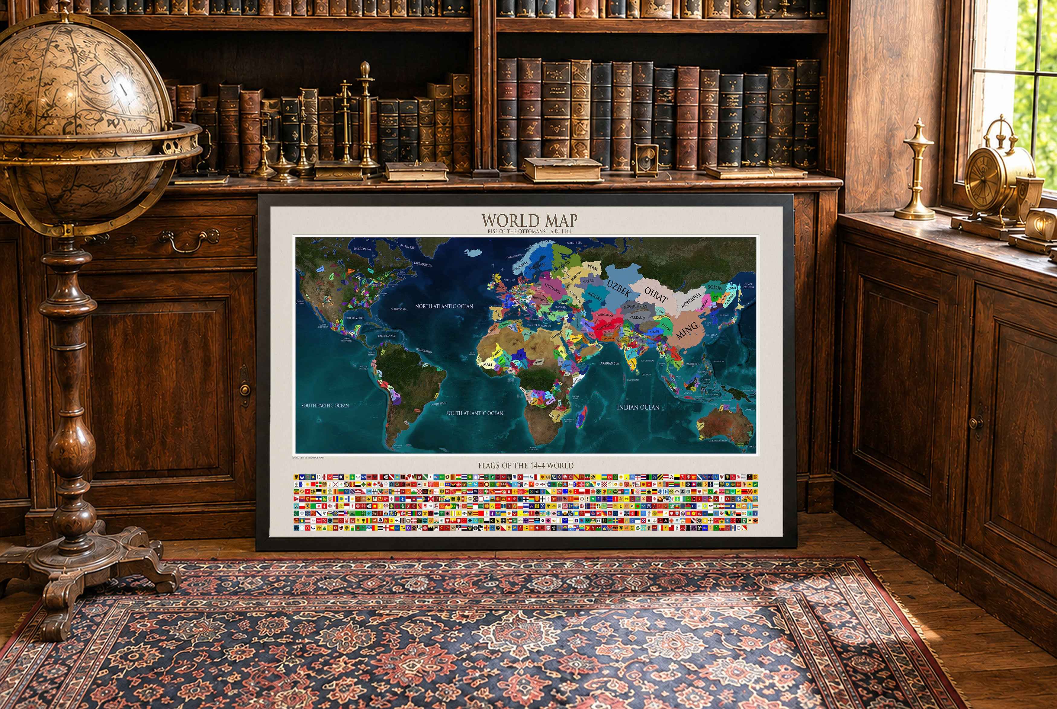
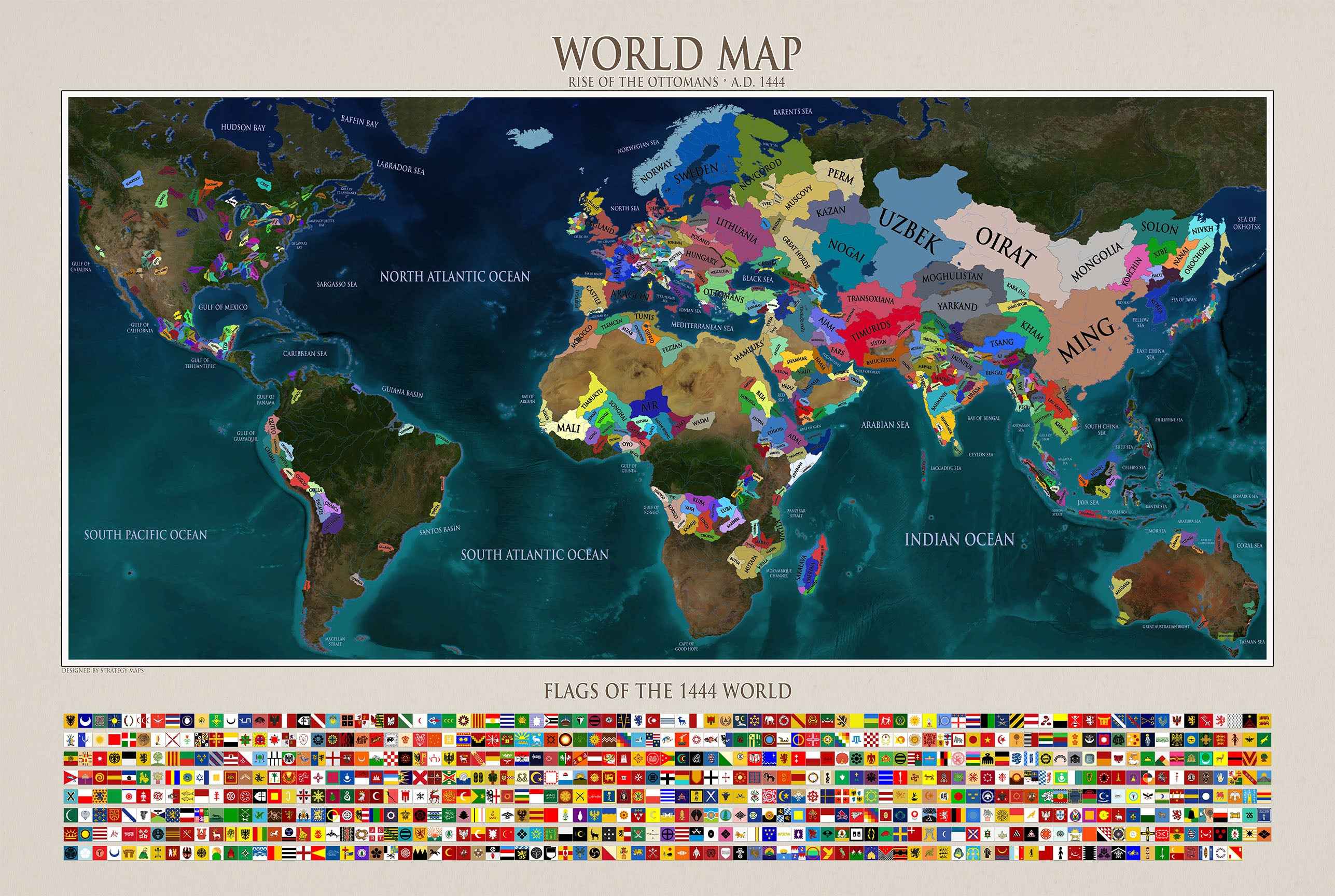
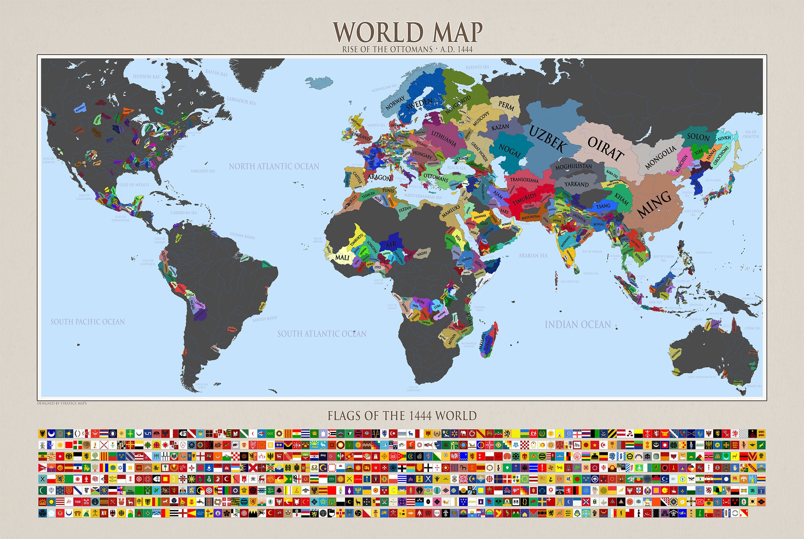
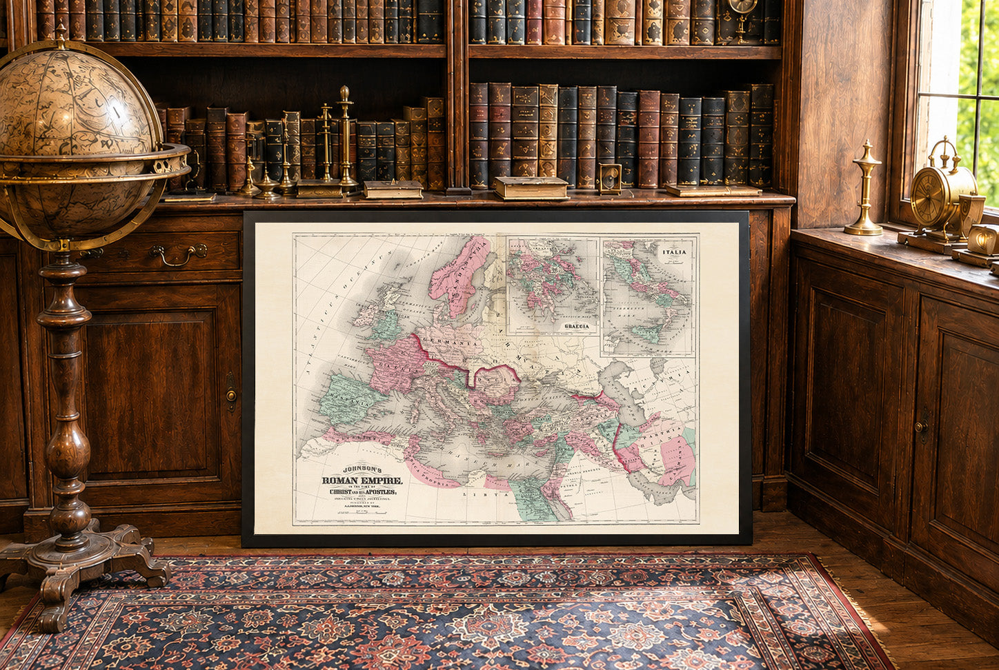
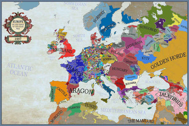
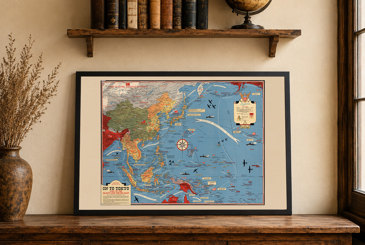
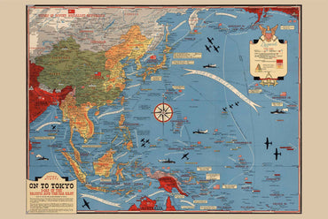


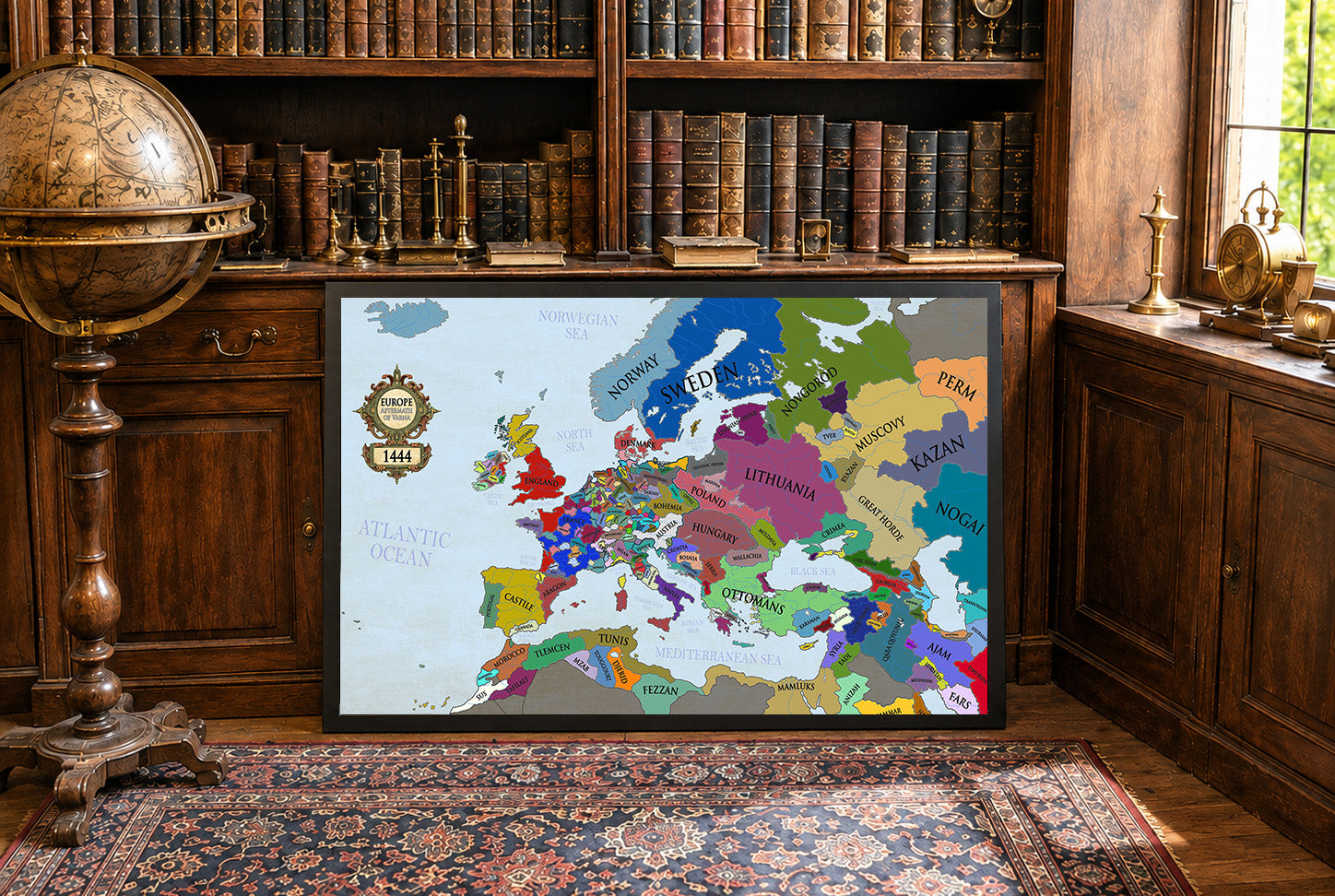
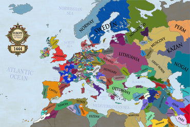
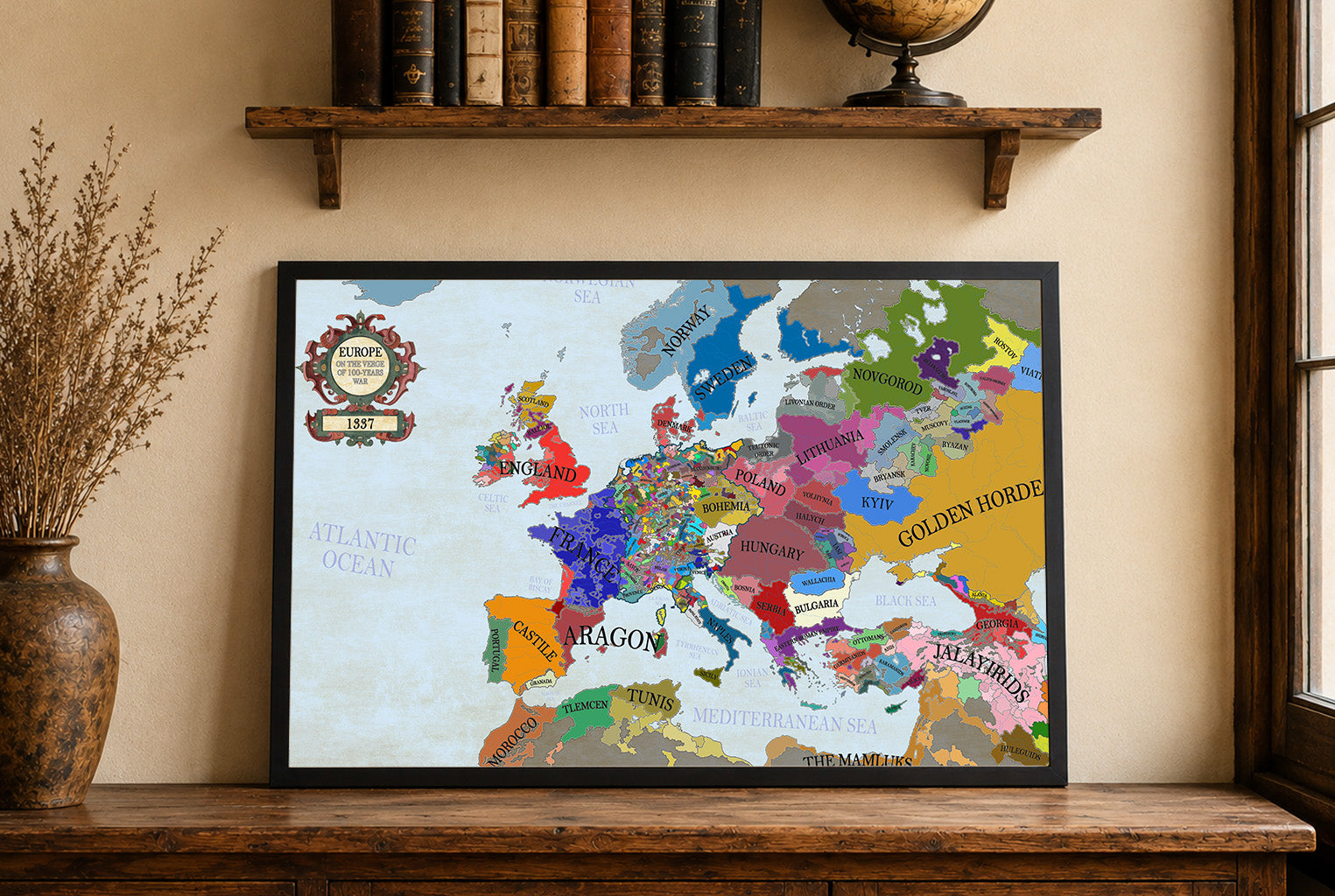
Maps came in a very well cushioned package with no damage occurring during transit. The color on the maps is nicely saturated and the maps look great on the wall.
Great quality, great packaging, great delivery! Highly recommend all maps!
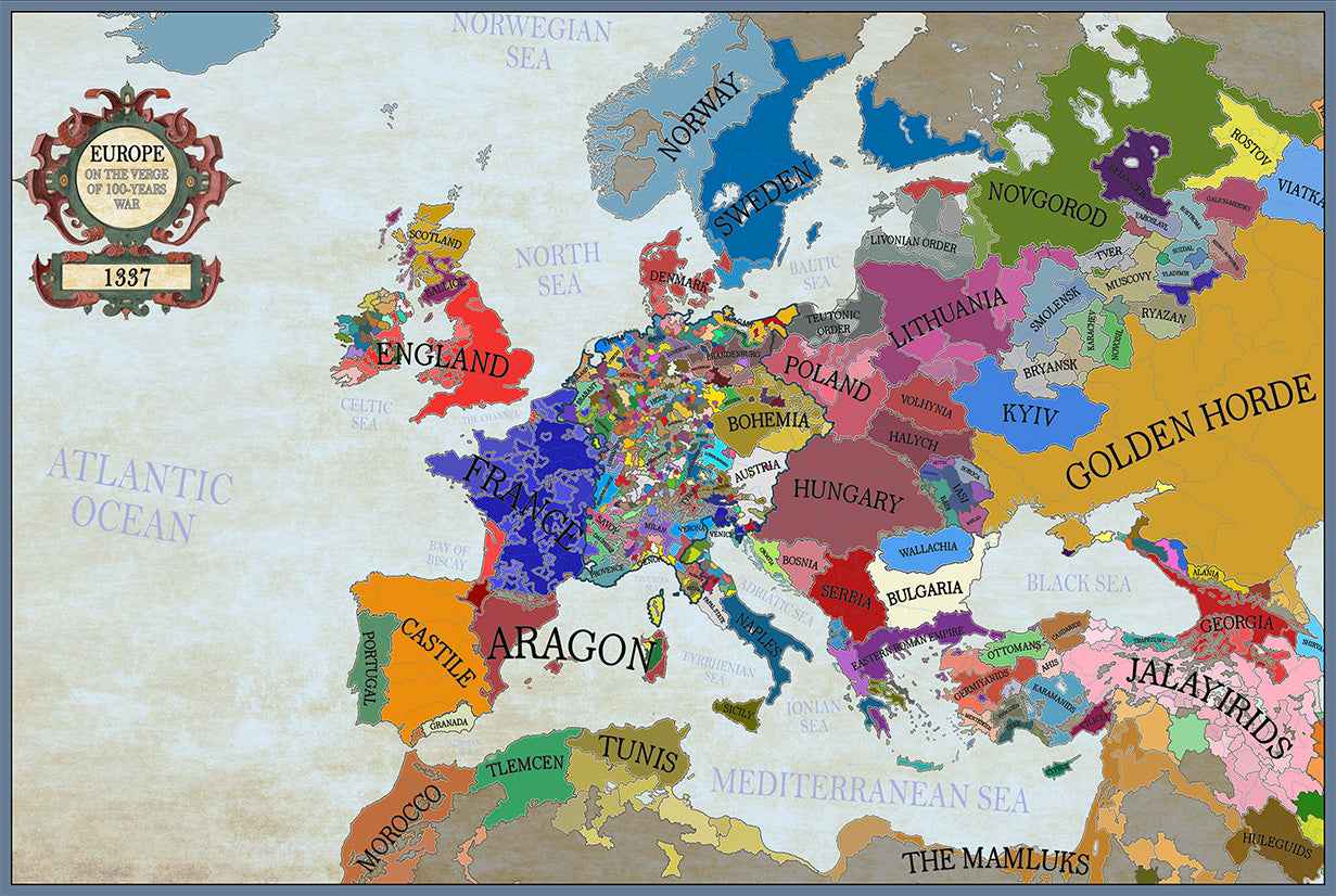
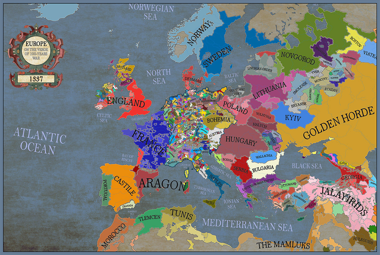
Great material and colour saturation and means I can choose a country to play before turning on my PC :P
Map arrived in perfect condition and quality for reading cities, rivers, mountains and regions. Incredibly helpful in sourcing the map I wanted and adding it to the store.
Rotterdam is always 5 stars.