



Das dargestellte Werk ist eine detaillierte Karte von Brugge (Brügge), erstellt von Joan Blaeu und Willem Janszoon Blaeu. Diese Karte, datiert auf 1652, ist Teil eines größeren Atlas mit dem Titel "Toonneel der Steeden van s'Konings Nederlanden, met hare Beschryvingen," veröffentlicht von Joan Blaeu. Die Karte ist eine sorgfältig gravierte Darstellung von Brugge, die die Stadt aus der Vogelperspektive zeigt. Sie ist Teil eines Atlas, der kartografische Präzision mit künstlerischen Verzierungen kombiniert, charakteristisch für das goldene Zeitalter der niederländischen Kartografie. Das Medium ist wahrscheinlich ein Gravurdruck, der für Karten dieser Ära aufgrund des erreichbaren Detailgrads durch Gravur üblich ist.


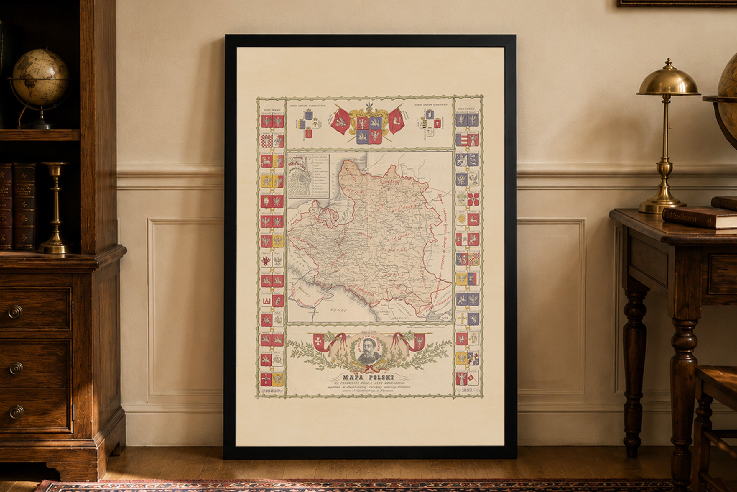
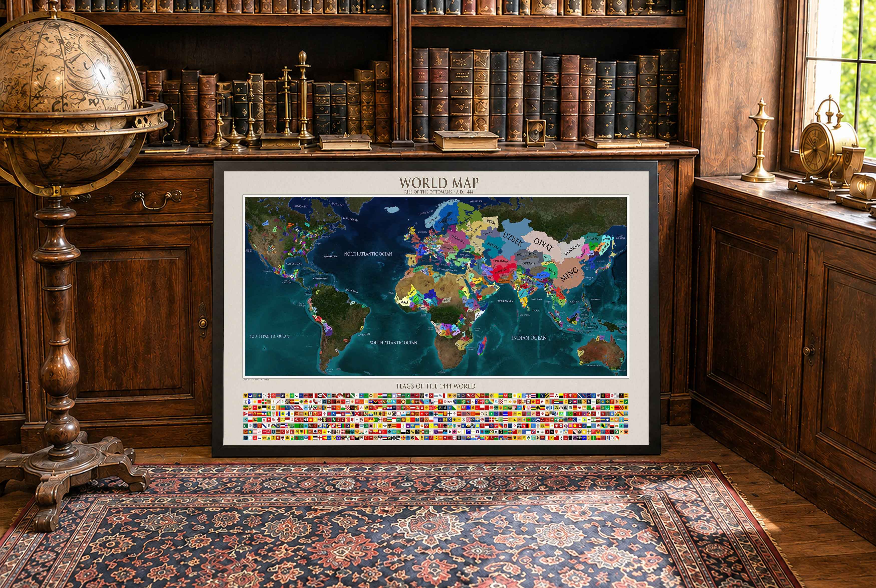
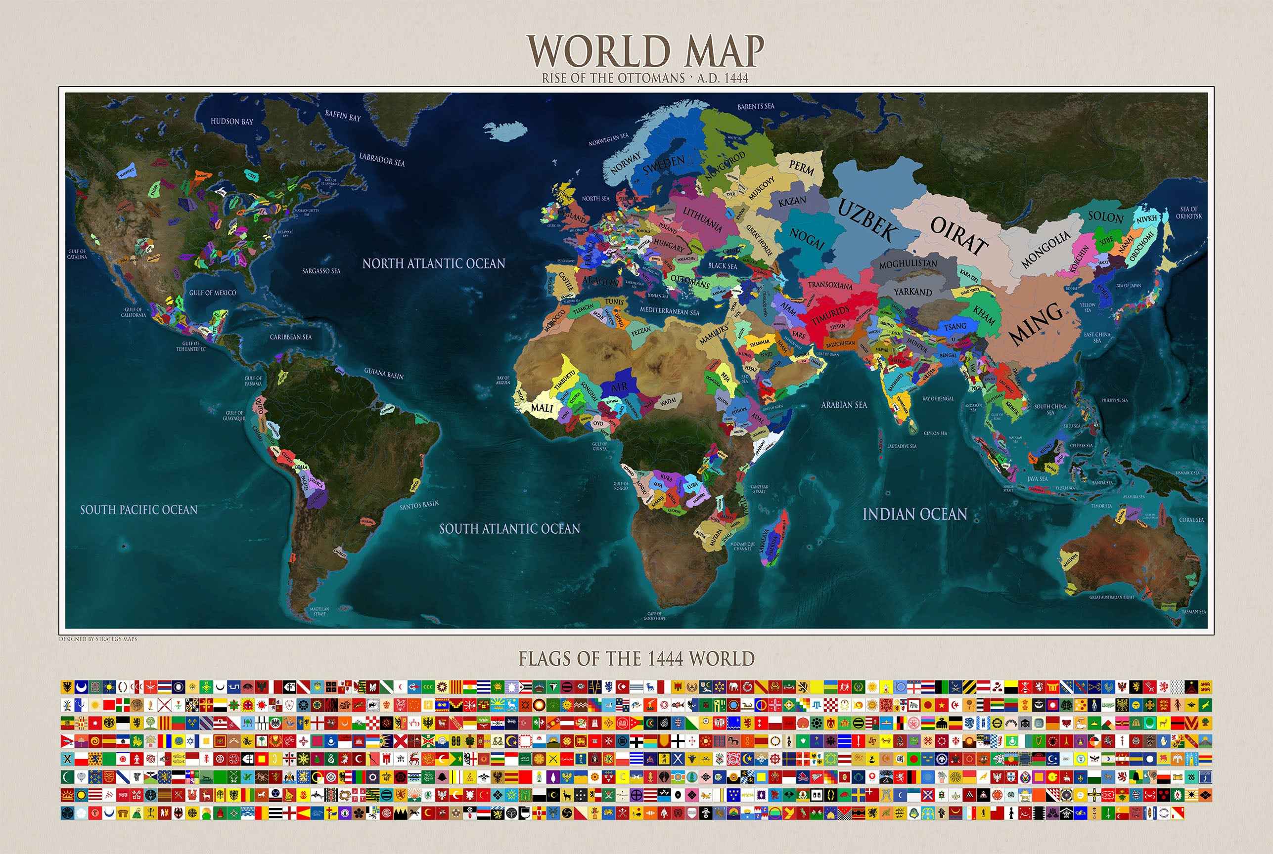
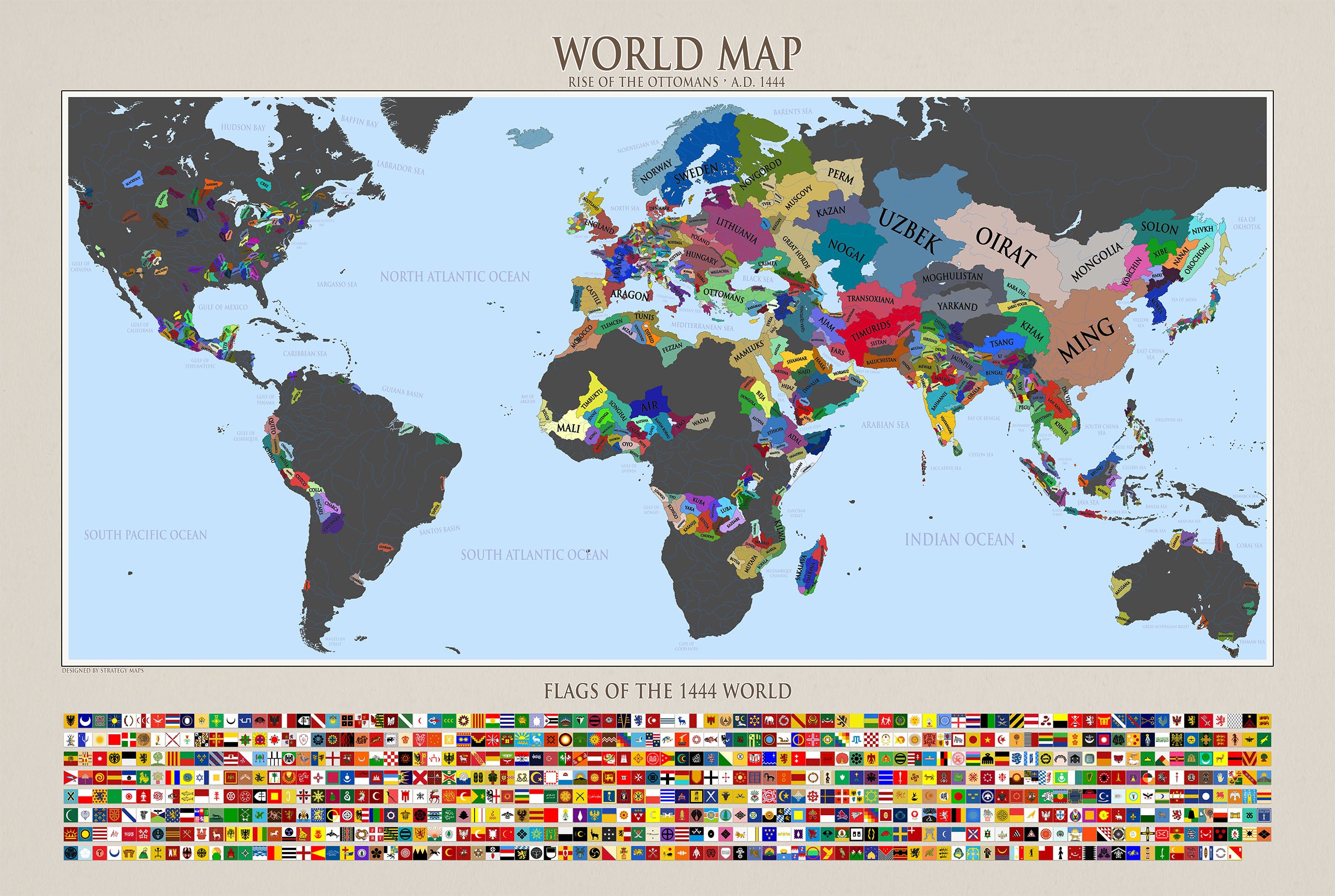
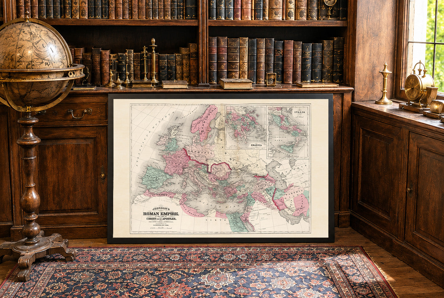
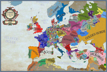
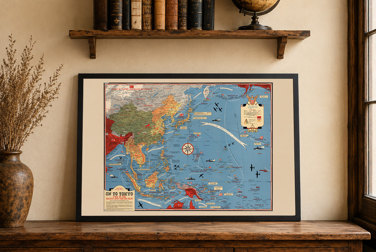
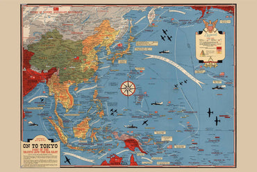


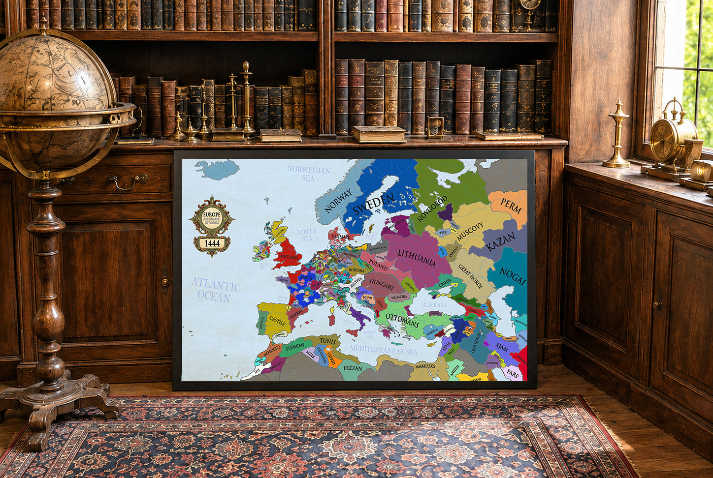
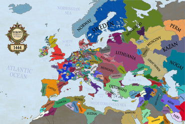
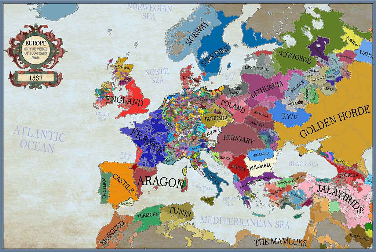
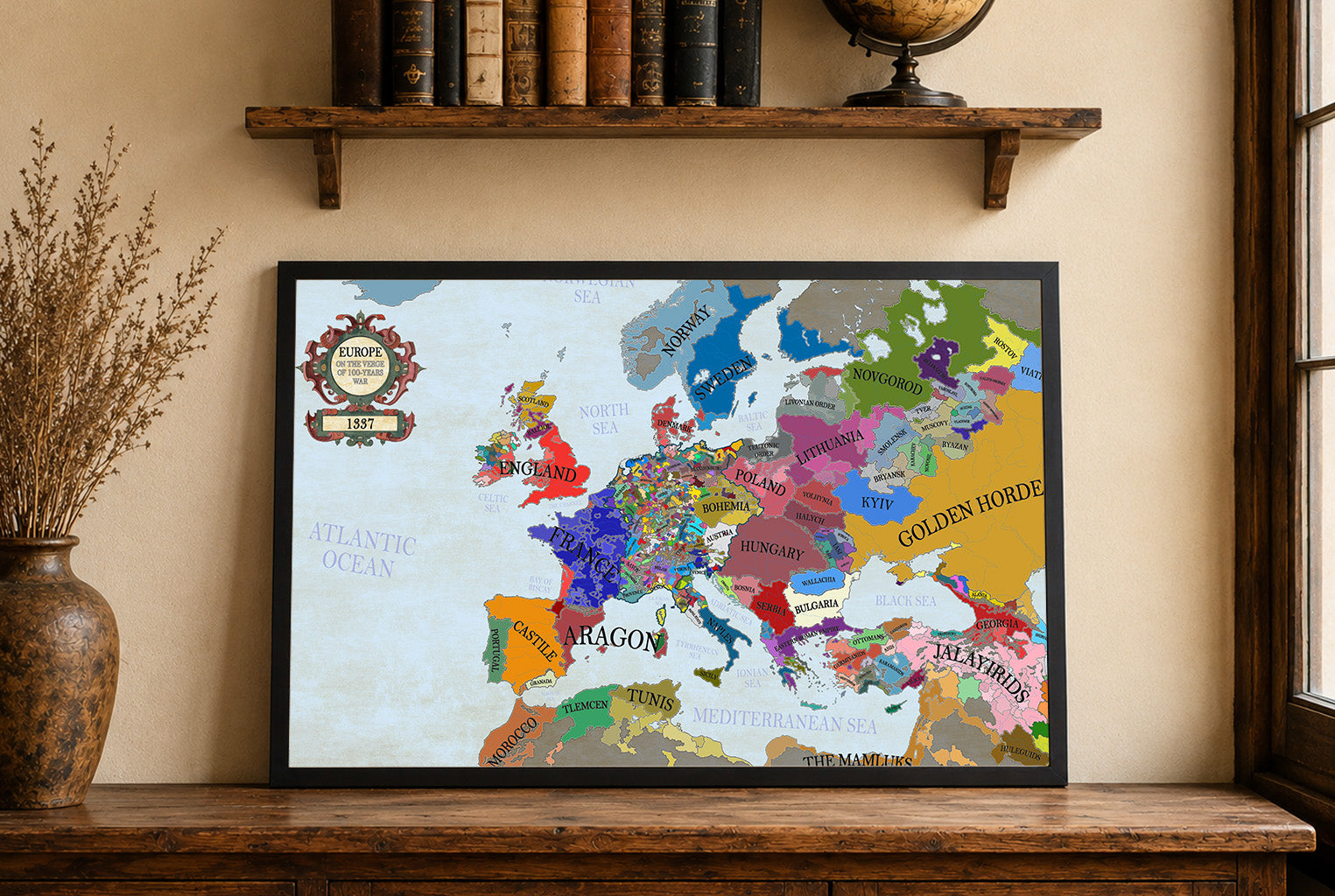
Maps came in a very well cushioned package with no damage occurring during transit. The color on the maps is nicely saturated and the maps look great on the wall.
Great quality, great packaging, great delivery! Highly recommend all maps!
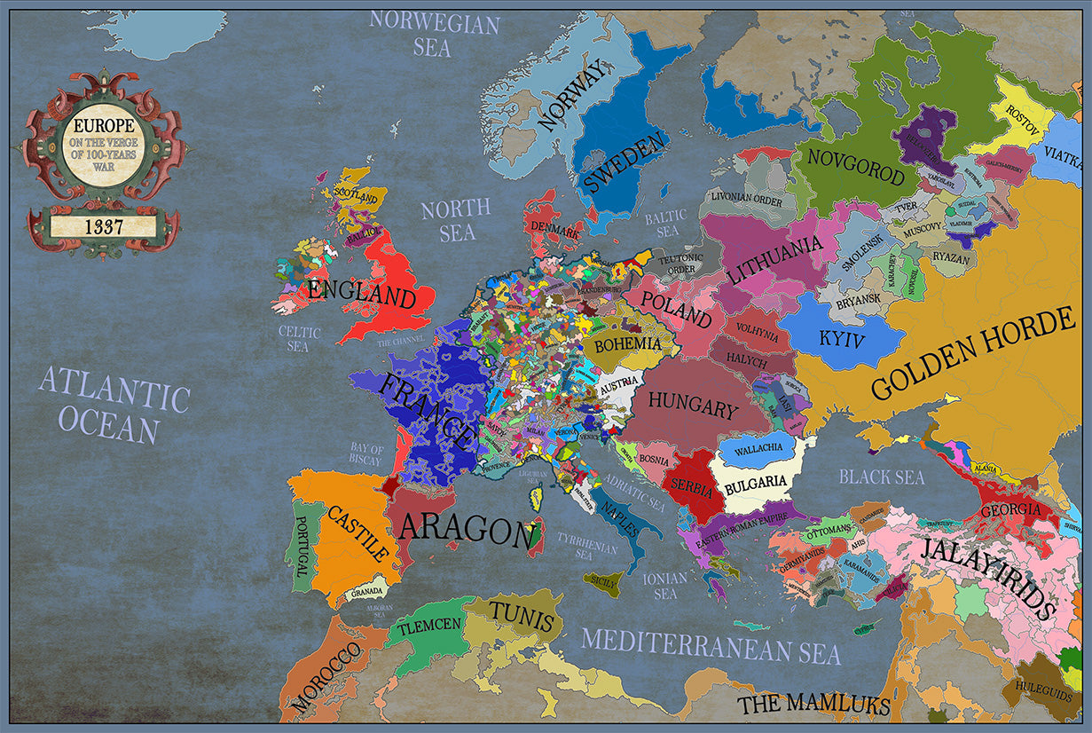
Great material and colour saturation and means I can choose a country to play before turning on my PC :P
Map arrived in perfect condition and quality for reading cities, rivers, mountains and regions. Incredibly helpful in sourcing the map I wanted and adding it to the store.
Rotterdam is always 5 stars.