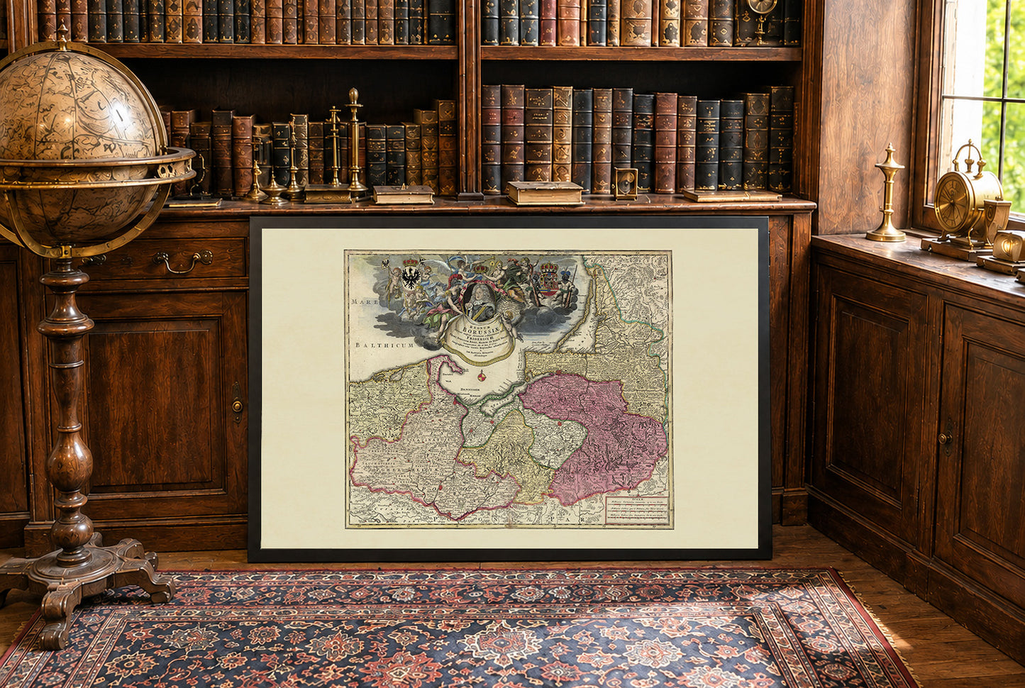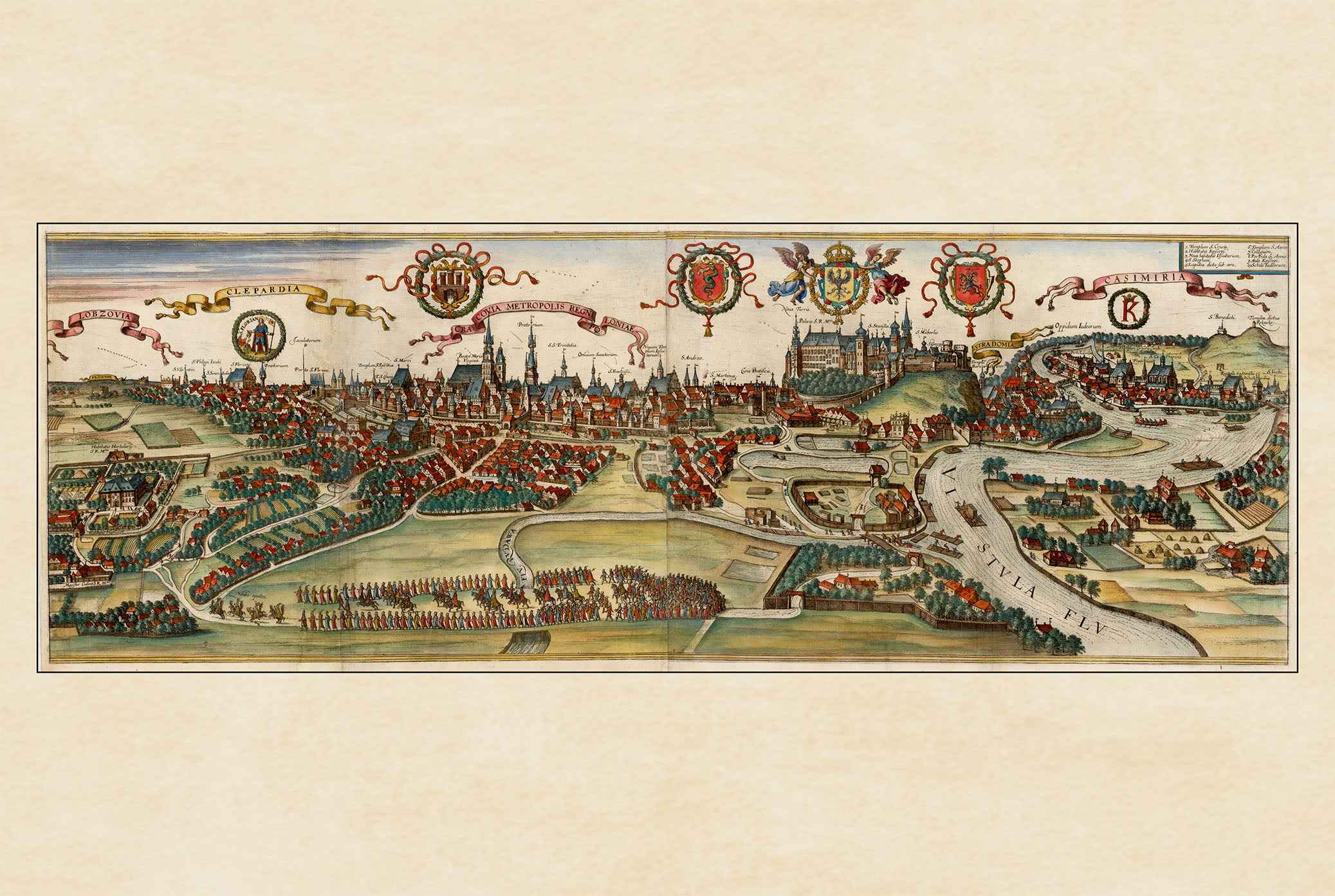


Celebrate the birth of the Kingdom of Prussia with this magnificent Kingdom of Prussia Map Poster, featuring the celebrated "Regnum Borussiae" map created by the renowned German cartographer Johann Baptist Homann shortly after the coronation of King Frederick I of Prussia in 1701. Considered one of the finest examples of Baroque cartography, this richly engraved masterpiece commemorates the foundation of the Kingdom of Prussia and its emergence as one of Europe's rising powers.
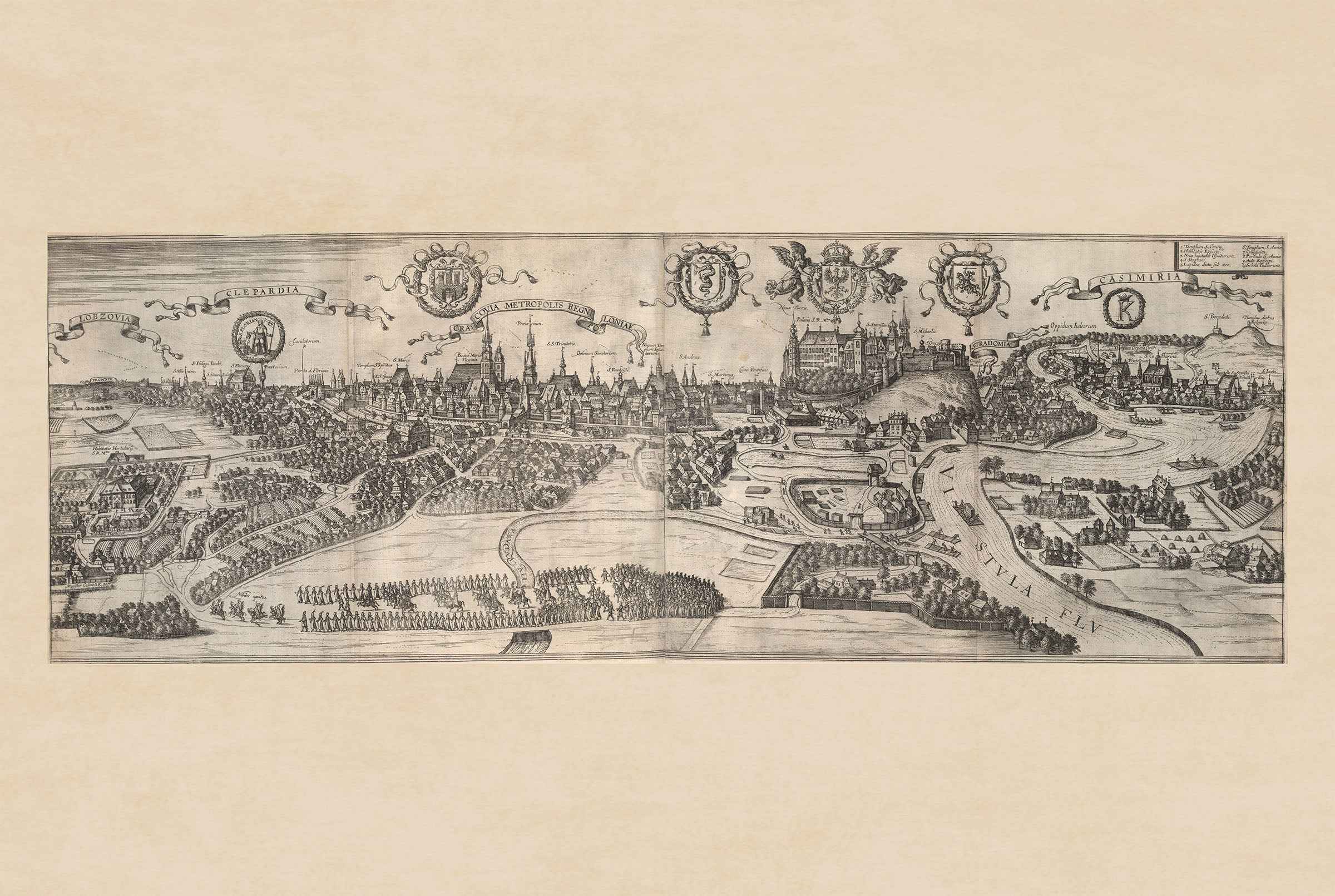
Published in Nuremberg and later included in Homann's famous Neuer Atlas, the map presents the Kingdom of Prussia together with Brandenburg and neighboring regions in remarkable geographic detail. Cities, rivers, forests, coastlines, and political boundaries are meticulously engraved, while traditional hill symbols depict the terrain in the elegant style of early eighteenth-century cartography.
The elaborate Baroque title cartouche is among the map's most striking features. Above the title appears a portrait of King Frederick I, crowned and surrounded by allegorical figures beneath the royal motto "Suum Cuique" ("To Each His Own"). Decorative heraldry includes the black Prussian eagle bearing Frederick's intertwined initials, the royal coat of arms, and a globe-shaped inset map of Brandenburg, emphasizing the political union between Brandenburg and Prussia.
Combining exceptional geographic accuracy with lavish artistic ornamentation, this map reflects the prestige, ambition, and symbolism of the newly established Prussian kingdom. It stands as both a historical document and a masterpiece of European Baroque engraving.
Perfect for historians, collectors, genealogists, military history enthusiasts, and admirers of antique maps, this vintage Prussia poster makes an elegant wall decoration for offices, libraries, studies, or traditional interiors.
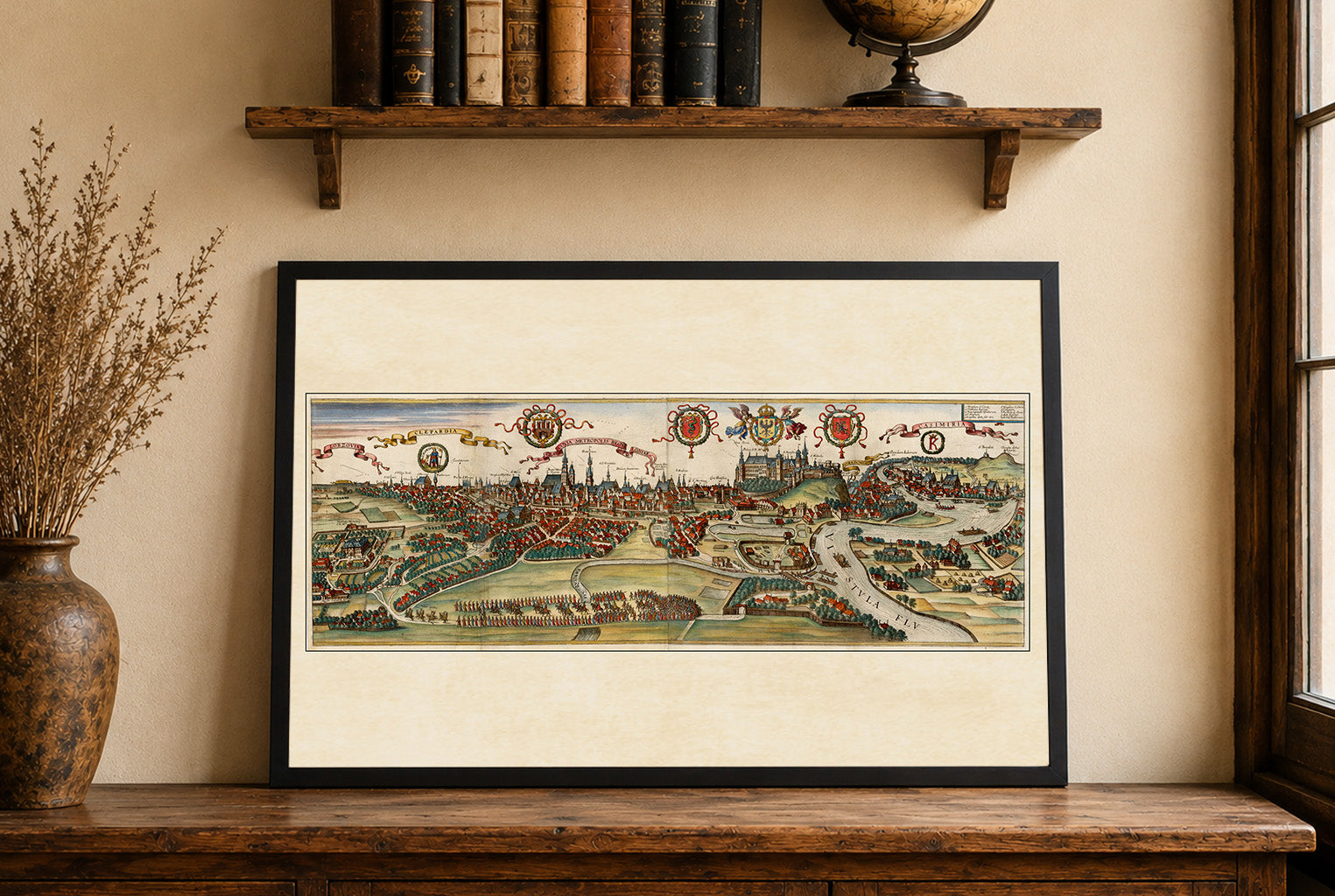
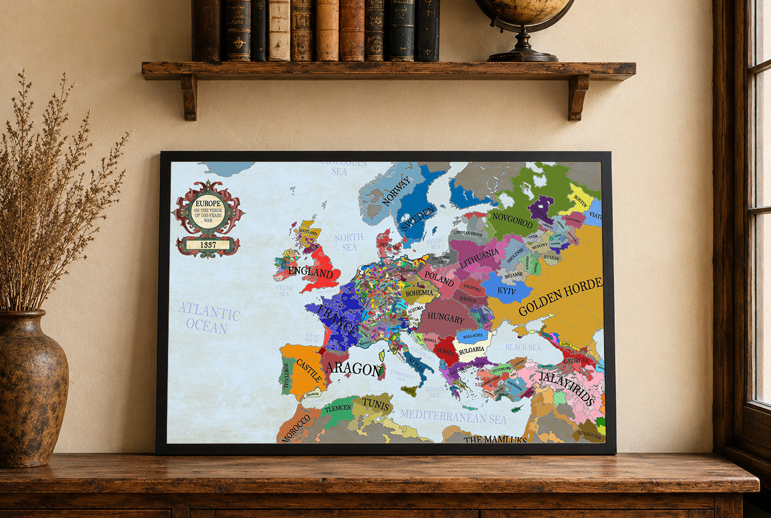
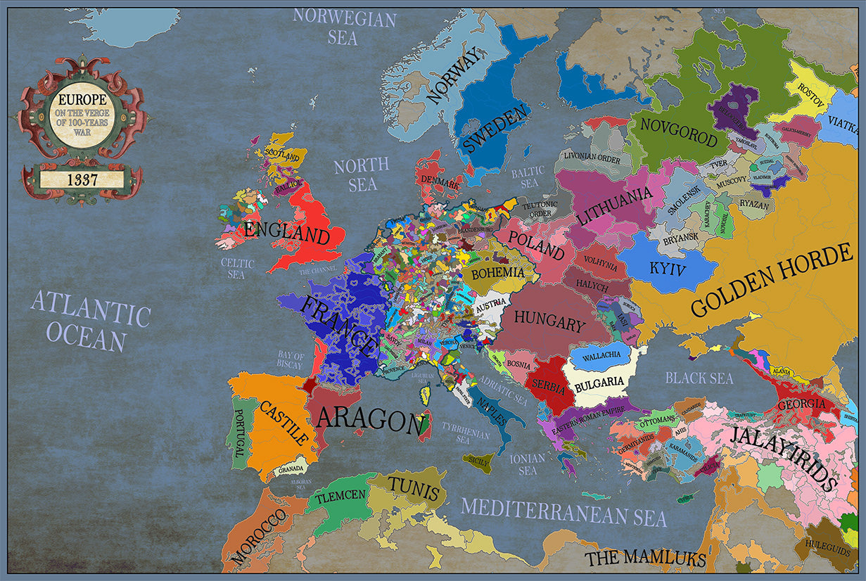
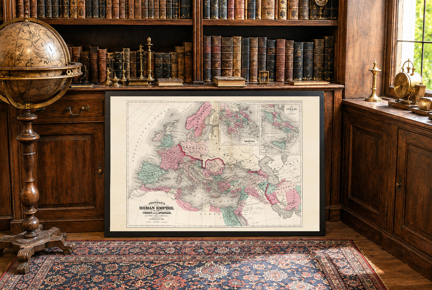
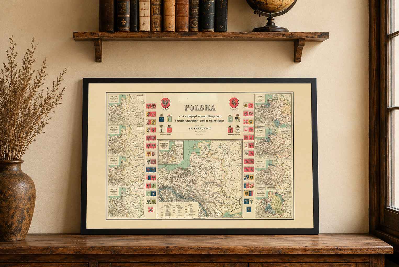
This is a reproduction print of a historical map