



The work depicted is a detailed map of Brugge (Bruges), created by Joan Blaeu and Willem Janszoon Blaeu. This map, dated 1652, is part of a larger atlas titled "Toonneel der Steeden van s'Konings Nederlanden, met hare Beschryvingen," published by Joan Blaeu. The map is a meticulously engraved representation of Brugge, showcasing the city in a bird’s-eye view. It is part of an atlas that combines cartographic precision with artistic embellishments, characteristic of the Dutch Golden Age of cartography. The medium is likely an engraved print, common for maps of this era due to the level of detail achievable through engraving


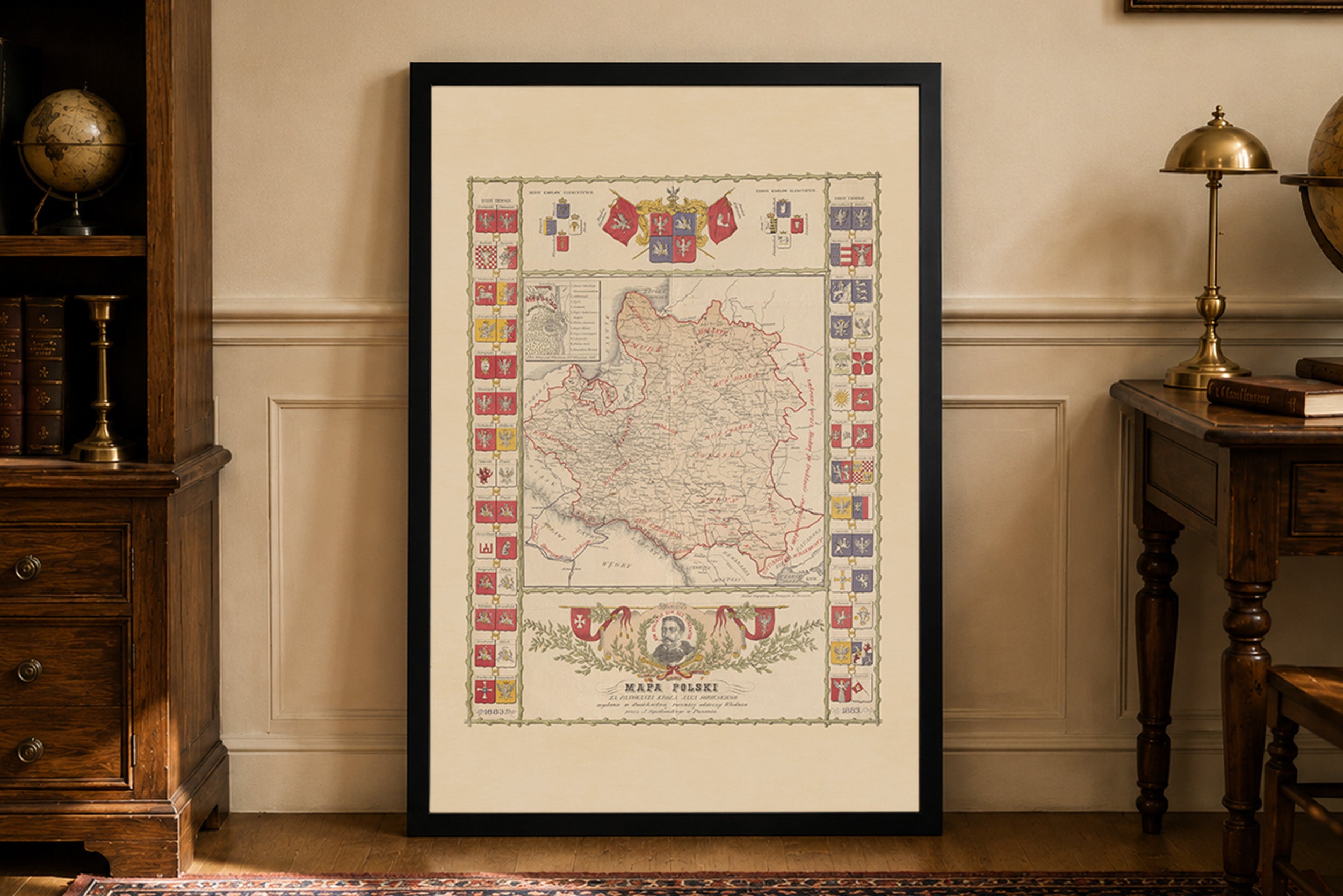
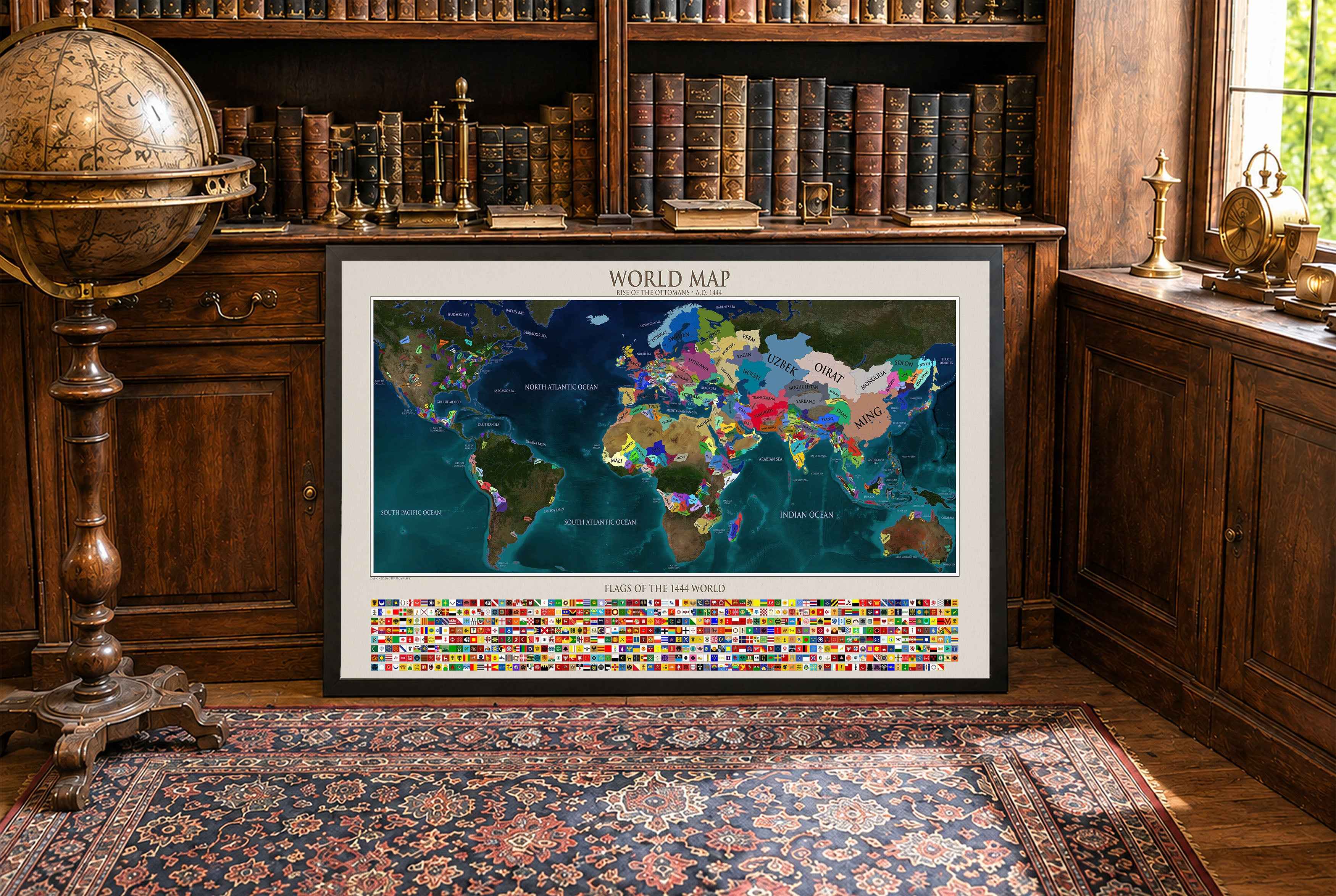
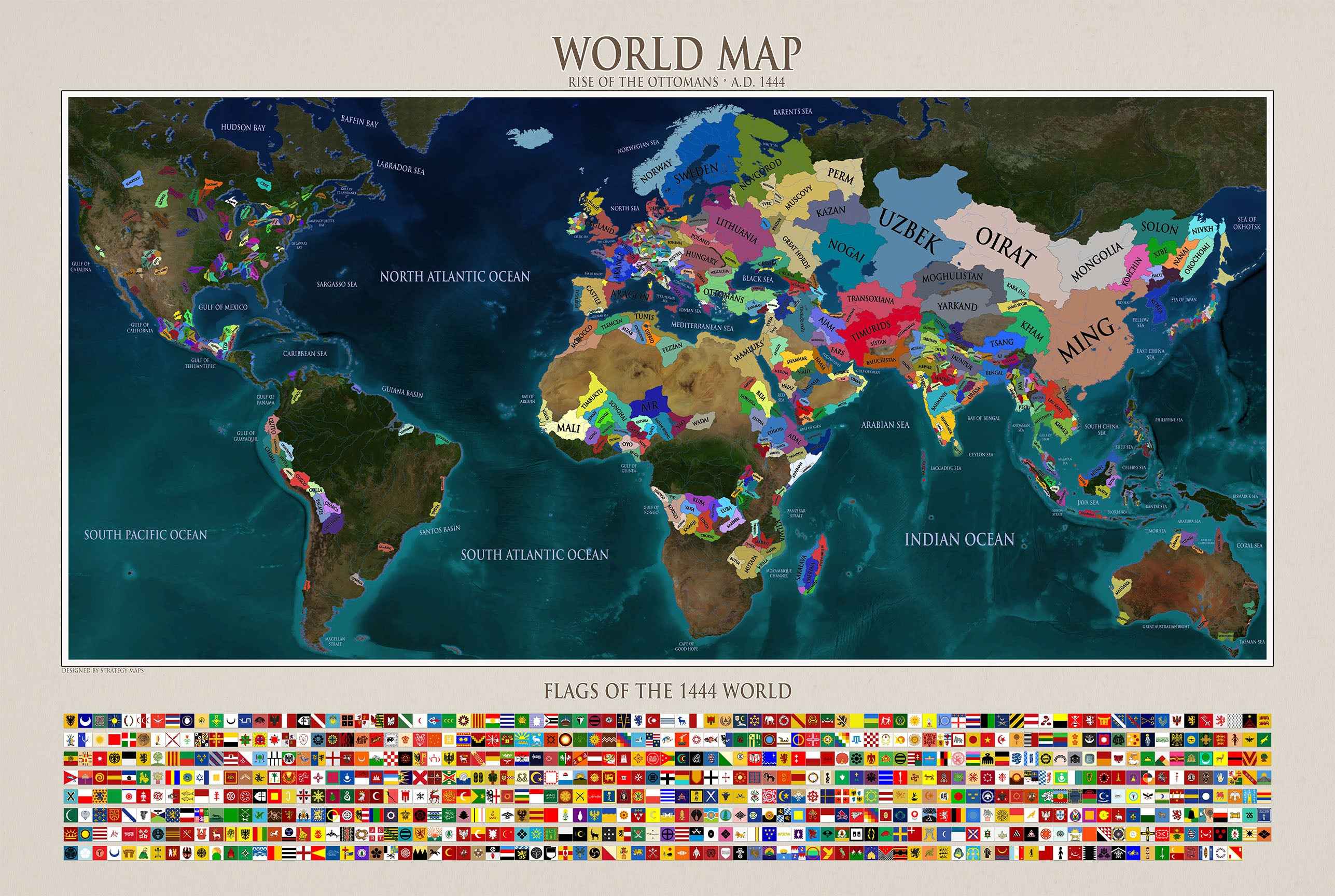
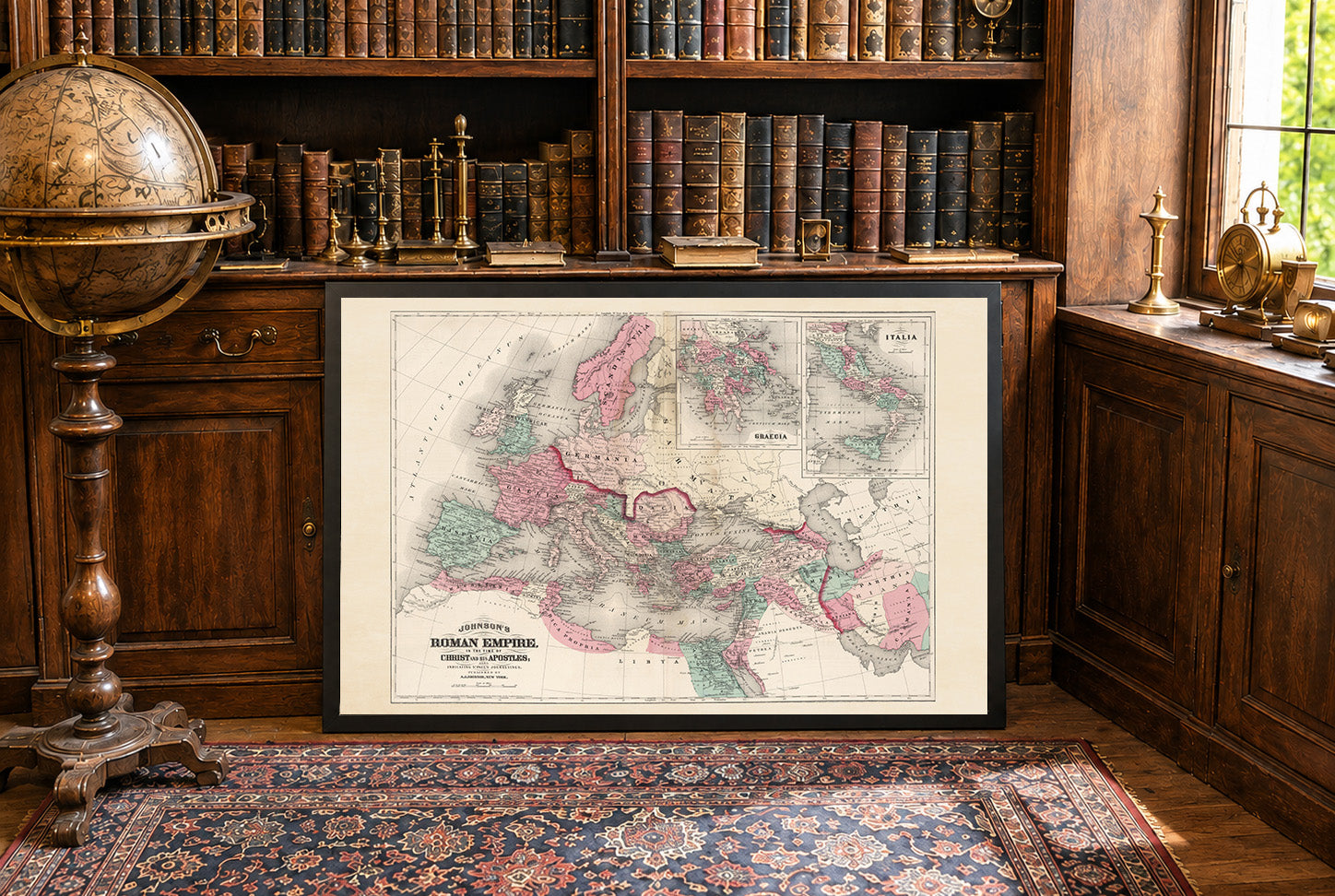
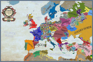
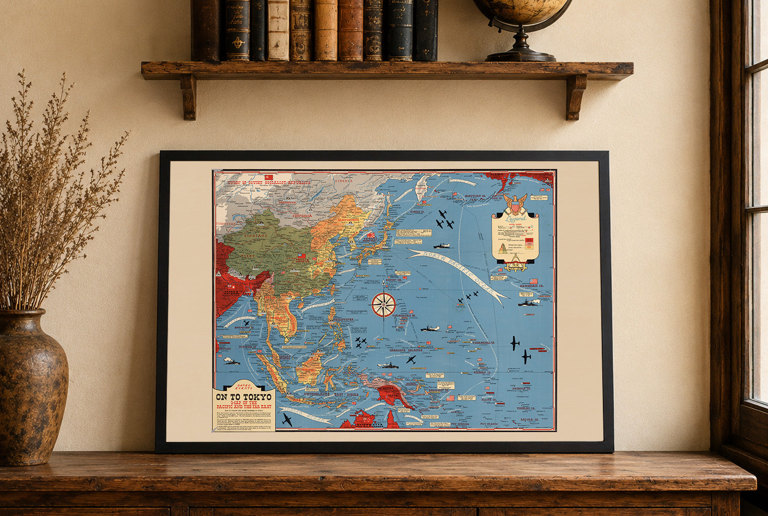
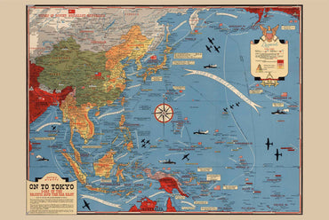


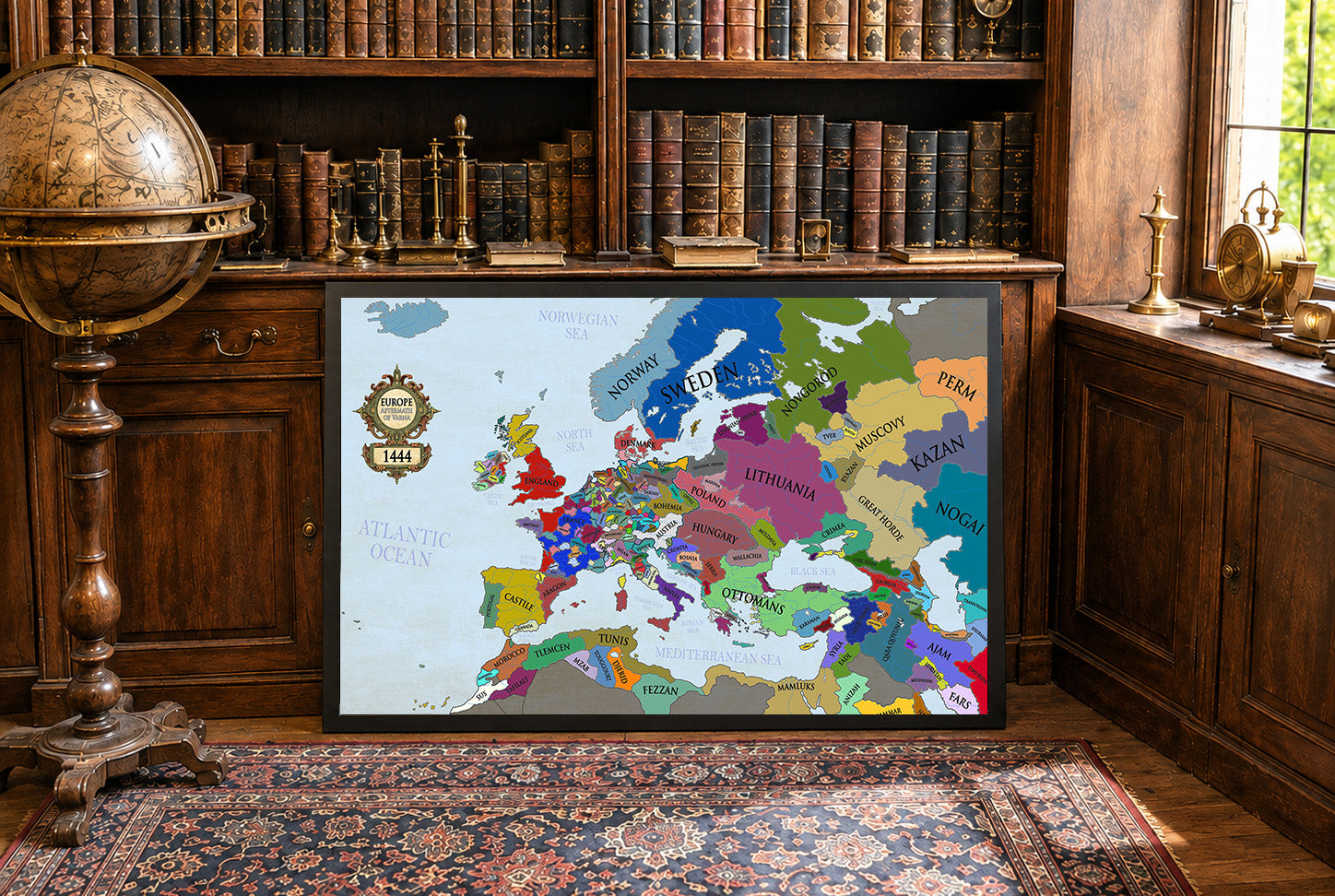
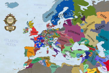
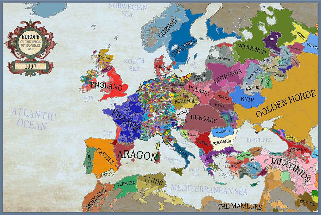
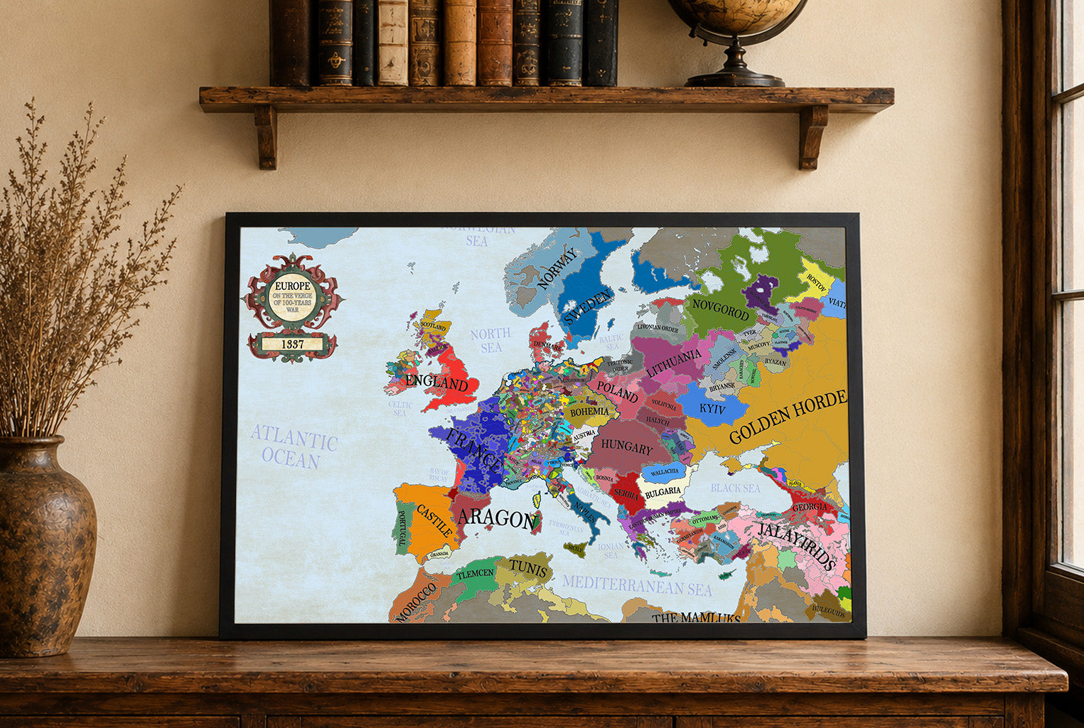
Maps came in a very well cushioned package with no damage occurring during transit. The color on the maps is nicely saturated and the maps look great on the wall.
Great quality, great packaging, great delivery! Highly recommend all maps!
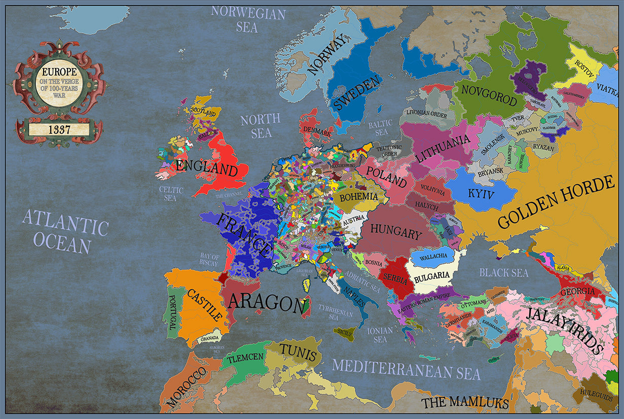
Great material and colour saturation and means I can choose a country to play before turning on my PC :P
Map arrived in perfect condition and quality for reading cities, rivers, mountains and regions. Incredibly helpful in sourcing the map I wanted and adding it to the store.
Rotterdam is always 5 stars.