


Author: Socecu & Teclu
Year: 1883
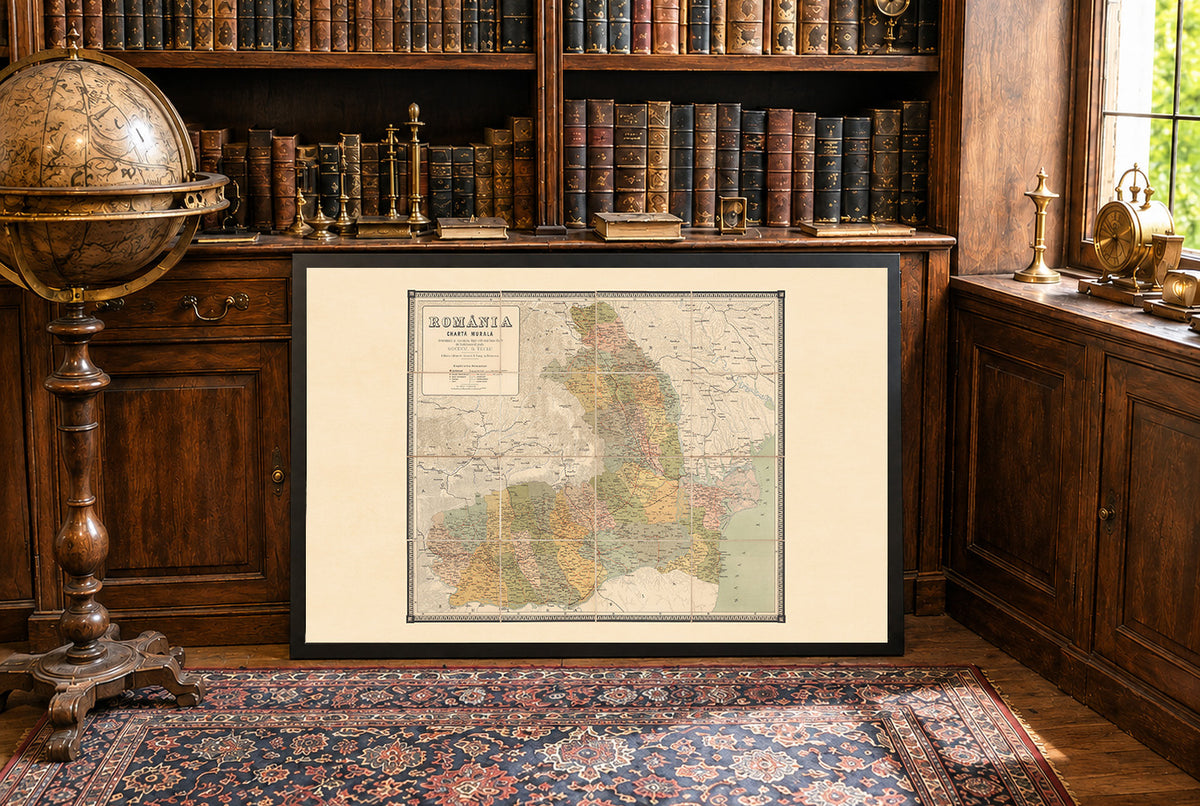
This is a reproduction print of the historical map “Romania, Charta Murala”, published in Bucharest by Socecu & Teclu in 1883, shortly after Romania became a kingdom.
The map presents Romania as it existed in the early years of the Kingdom, with administrative divisions, capitals, cities and towns, roads, railways, rivers, and mountainous terrain. Color coding clearly distinguishes the different regions, while shaded relief gives the map a detailed topographical appearance.
Originally produced as a large wall map measuring approximately 98 × 102 cm, the map was dissected into 16 sections and mounted on linen. Its original presentation included a red hard case decorated with gilt lettering and the coat of arms of the Kingdom of Romania, reflecting the country's new national status after independence.
With its detailed cartography, period political divisions, and distinctive late-19th-century design, this map is a striking historical representation of Romania during its formative years as a modern European state.